Short-range multispectral imaging is an inexpensive, fast, and accurate approach to estimate biodiversity in a temperate calcareous grassland
Jackson et al. 2022 In a new Ecology and Evolution study, short-range multispectral imaging in a temperate calcareous grassland is demonstrated to provide indicators of grassland biodiversity metrics at high spatial resolution. Image sensing technology developments are improving the cost-effectiveness of biodiversity monitoring efforts, yet logistical difficulties impede broad-scale implementation and use in characterizing biodiversity […] December 16, 2022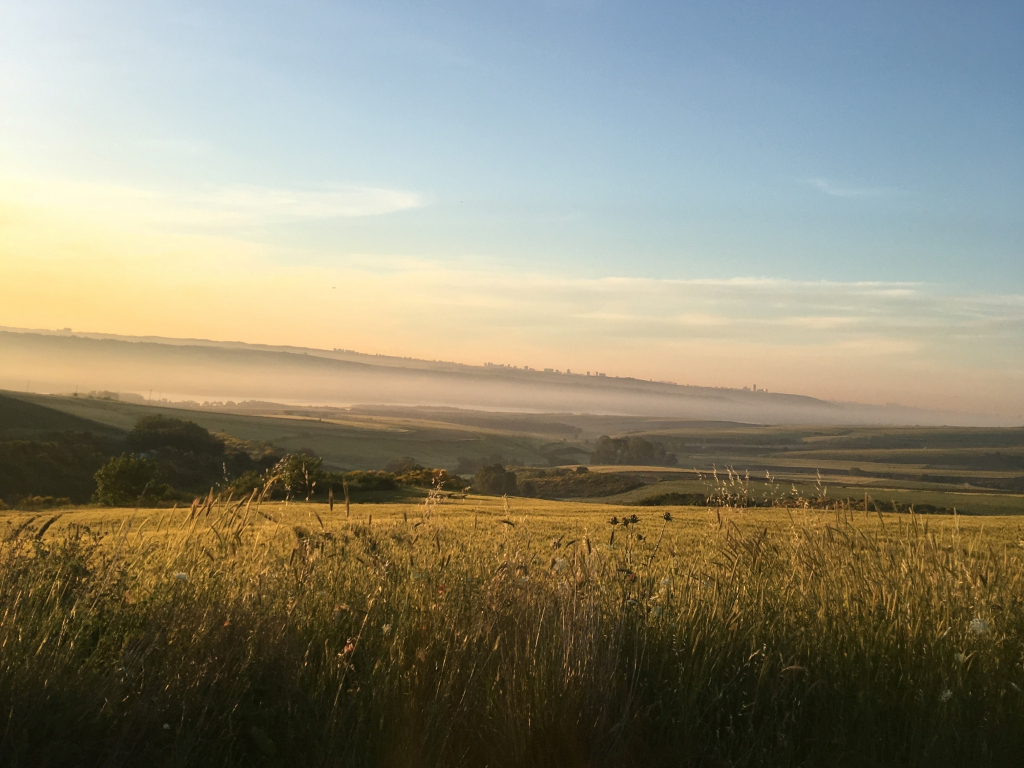
Jackson et al. 2022
In a new Ecology and Evolution study, short-range multispectral imaging in a temperate calcareous grassland is demonstrated to provide indicators of grassland biodiversity metrics at high spatial resolution.
Image sensing technology developments are improving the cost-effectiveness of biodiversity monitoring efforts, yet logistical difficulties impede broad-scale implementation and use in characterizing biodiversity at different spatial scales. The use of unmanned aerial vehicle (UAV) technology with multispectral sensors has far-reaching potential to provide cost-effective and high-resolution monitoring of biodiversity in complex environments. In order to test this potential, the authors investigated the utility of multispectral imaging technology from commercially available unmanned aerial vehicles (UAVs, or drones) in estimating biodiversity metrics at short-range (<10 m image recording height) in a temperate calcareous grassland ecosystem in Oxfordshire, UK.
Species differences in the reflectance of electromagnetic radiation, such as m easured by UAV technology, are a promising target to estimate plant biodiversity using multispectral image data. The effectiveness of the multispectral images at estimating ground-truthed biodiversity metrics from in-situ botanical surveys for 37 – 1 m × 1 m quadrats were tested. For this, a suite of moments were calculated (coefficient of variation, standard deviation, skew, kurtosis) for the distribution of radiance from multispectral images at five wavelength bands (Blue 450±16 nm; Green 560±16 nm; Red 650±16 nm; Red Edge 730±16 nm; Near Infrared 840±16 nm).
The study found positive associations between the variation in the detected spectral radiance and two biodiversity indices. The study also found find that the average coefficient of variation in spectral radiance was consistent and highly repeatable, across sampling days and recording heights. The positive associations with biodiversity indices were consistent irrespective of the image recording height (2-8 m), but there were reductions in estimates of spectral diversity with higher UAV recording heights. UAV imaging were found to be much more time efficient that in-situ botanical surveys; reducing sampling time by a factor of 16.
The study results demonstrate the utility of multispectral radiance moments as an indicator of biodiversity in this temperate calcareous grassland at a fine spatial resolution using a widely available UAV monitoring system with a coarse spectral resolution. This adds to the growing body of literature highlighting links between spectral and species diversity, highlighting the potential for UAV technology with multispectral sensors for cost-effective and high-resolution monitoring of biodiversity.
Learn more in the full Ecology and Evolution study, Short-range multispectral imaging is an inexpensive, fast, and accurate approach to estimate biodiversity in a temperate calcareous grassland.