Improved NbSI global interactive case study platform launched at COP27
Our updated interactive global map of best practice examples of nature-based solutions, funded by the British Academy, relaunched on 17 November at COP27 in Sharm El Sheikh, Egypt, with expanded cases launching at CBD COP 15 in Montreal, Canada. Following yesterday’s impactful discussions on biodiversity day, we hope the relaunch of the global map can […] November 17, 2022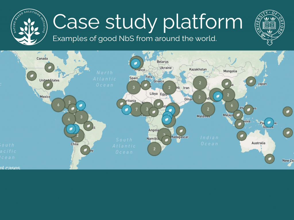
Our updated interactive global map of best practice examples of nature-based solutions, funded by the British Academy, relaunched on 17 November at COP27 in Sharm El Sheikh, Egypt, with expanded cases launching at CBD COP 15 in Montreal, Canada. Following yesterday’s impactful discussions on biodiversity day, we hope the relaunch of the global map can be utilized as a key tool in furthering conversations about the importance of nature-based solutions in combating the climate crisis.
The latest edition of the map debuts multiple new features, including 4 new information categories for each case, a new type of case study called “model case studies” to highlight information-rich projects with successful ecological and social outcomes, development outcomes, improved and added platform functionalities, and a methodologies and definitions document . Together these new features work to increase the depth of information available for each case study and improve the utility of case studies for users.
Our 10 new model case studies are now viewable on the platform. These information-rich and diverse studies act as a great starting point for those new to the global map, or can help expand long-time users’ understanding of different intervention types. These 10 studies include more information than our traditional case study format and more detailed referencing to allow for users to do further research. We hope that this new type of case study can help users better answer the question of what successful NbS looks like and how these projects come to be.
The 4 additional categories (governance, finance, trade offs and limitations, and monitoring and evaluation (M&E) will allow for global map users to get a more holistic picture of it means to successfully implement NbS and what challenges may arise along the way.
Below are examples of the 4 new sections implemented in one of our 10 Model NbS studies, the Medmerry project for intertidal habitat restoration.
GOVERNANCE
The UK Environment Agency worked in collaboration with the RSPB to establish the Medmerry site as a mechanism of both coastal infrastructure and biodiversity importance. While the Environment Agency has transferred site management to the RSPB (4), the Medmerry Stakeholder Advisory Group (MStAG) was created in 2009 to allow for local community participation in the governance process (5).
FINANCE
The main sources of finance in this scheme mirror the governance structures with the UK Environment Agency and the RSPB being central to the financing of the project. The environment agency is supported by the government of the UK through the Department for Environment, Food & Rural Affairs which supports the medmerry project. Early strategic land purchases which made the project possible were financed by the Sussex Ornithological Society and the Peacock Trust (3).
MONITORING AND EVALUATION
The RSPB partakes in monitoring of species populations at the site. Monitoring of Birds, mammals, amphibians, insects, and reptiles are all undertaken by the RSPB. The RSPB also works in collaboration with the Inshore Fisheries & Conservation Authority to monitor local fish stocks (3). This is a combined effort by the RSPB to monitor the ecological progression of the site since its restoration.
TRADE-OFFS AND LIMITATIONS
In the face of rising sea levels further research is needed to evaluate the continued effectiveness of managed realignment projects in relation to storm defense which is a core objective of the Medmerry project (5).
Visit the interactive global NbS map landing page with a link to the Urban Nature Atlas or the BA hub for both platforms, and explore the variety of global NbS case studies. If you would like to add your project to the database and you believe it meets the four guidelines for successful NbS, please get in touch.